

Cornerstone Mapping, Inc.
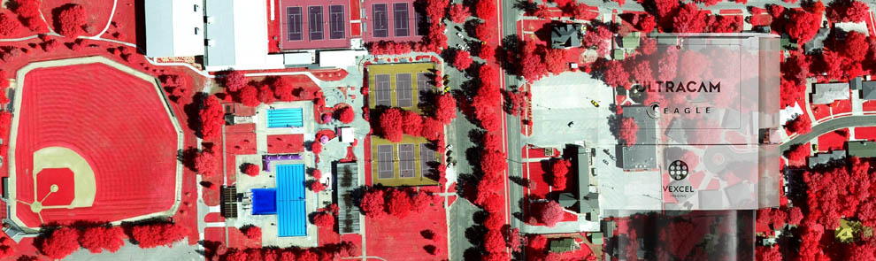
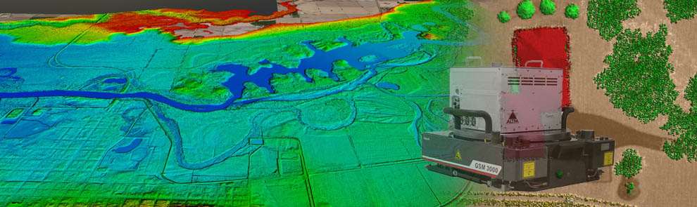
Cornerstone Mapping was founded in 2002 and provides a full range of airborne surveying, aerial mapping, and remote sensing data acquisition services. We have three aircraft, a large-format camera system, an aerial LiDAR scanner, thermal cameras, and hyperspectral imaging capabilities.
Midwest Values
We value your business and treat you with the respect you deserve. We strive to relieve the stress of data acquisition from you and provide honest, timely, and transparent communications.
Quick Response & Delivery
We understand that time is of the essence. Cornerstone maintains control of our flight schedule by owning our aircraft and sensors. We do not suffer the limitations of red tape and long project queues. If you need a project completed quickly, we have the flexibility to make it happen.
High Quality & Accuracy
We understand that image quality and accuracy are key to a successful project. Our professional experience helps you get the geospatial data that you need.
We offer a commitment to our clients of high standards in our products. We use cutting-edge technology for aerial surveying, photogrammetry, and GIS software integration.
The Highest Level of Personal Service
Cornerstone Mapping specializes in remote sensing for geospatial applications. When you call us, you can be sure you’re speaking with someone who understands your needs.
Cornerstone Mapping’s aircraft are centrally located in Nebraska, where the aircraft are easily deployed on projects throughout the United States. We excel at data acquisition by using the latest in airborne sensor systems, software, and technology.